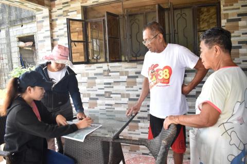
With the full support of NIA RVI Acting Regional Manager Engr. Jonel B. Borres and Division Manager A of NIA Aklan-Capiz IMO Engr. Raymond B. Mojares, the Farmland Geographic Information System (FGIS) team conducted field validation for optimizing information in the system.
Led by Mr. Neal Gallardo, SWRFT of Mambusao RIS and Mr. Vincent G. De Villa, FGIS focal person in the area of Capiz, the FGIS team had a walkthrough, gathered lot data, and updated farm information for their field validation activity with the farmers for data accuracy of the service area of Mambusao RIS. The team was accompanied by Barangay Councilor, Ms. Emily Flor of Brgy. Poblacion Sur, Sigma, Capiz last February 22, 2024.
The Farmland Geographic Information System (FGIS) is a tool that the NIA uses for the Operations and Maintenance of Irrigation Systems. It is a collection of farm information, including, but not limited to, landowners, tenants or farmers, lot numbers, land area, infrastructure for irrigation, payment information, and geographic location.
Field validation is an important aspect of Farmland GIS as it assures the accuracy, reliability, and effectiveness of data encoded in the system. In an era where precise farming is becoming increasingly important for long-term food production, field validation is a foundation for informed and productive farming practices.
- Log in to post comments

